
About Oyster Bay/ Cold Spring Harbor
A Brief History of Long Island Sound
by Jennifer Wilson-Pines
- Originally published in The Island Now
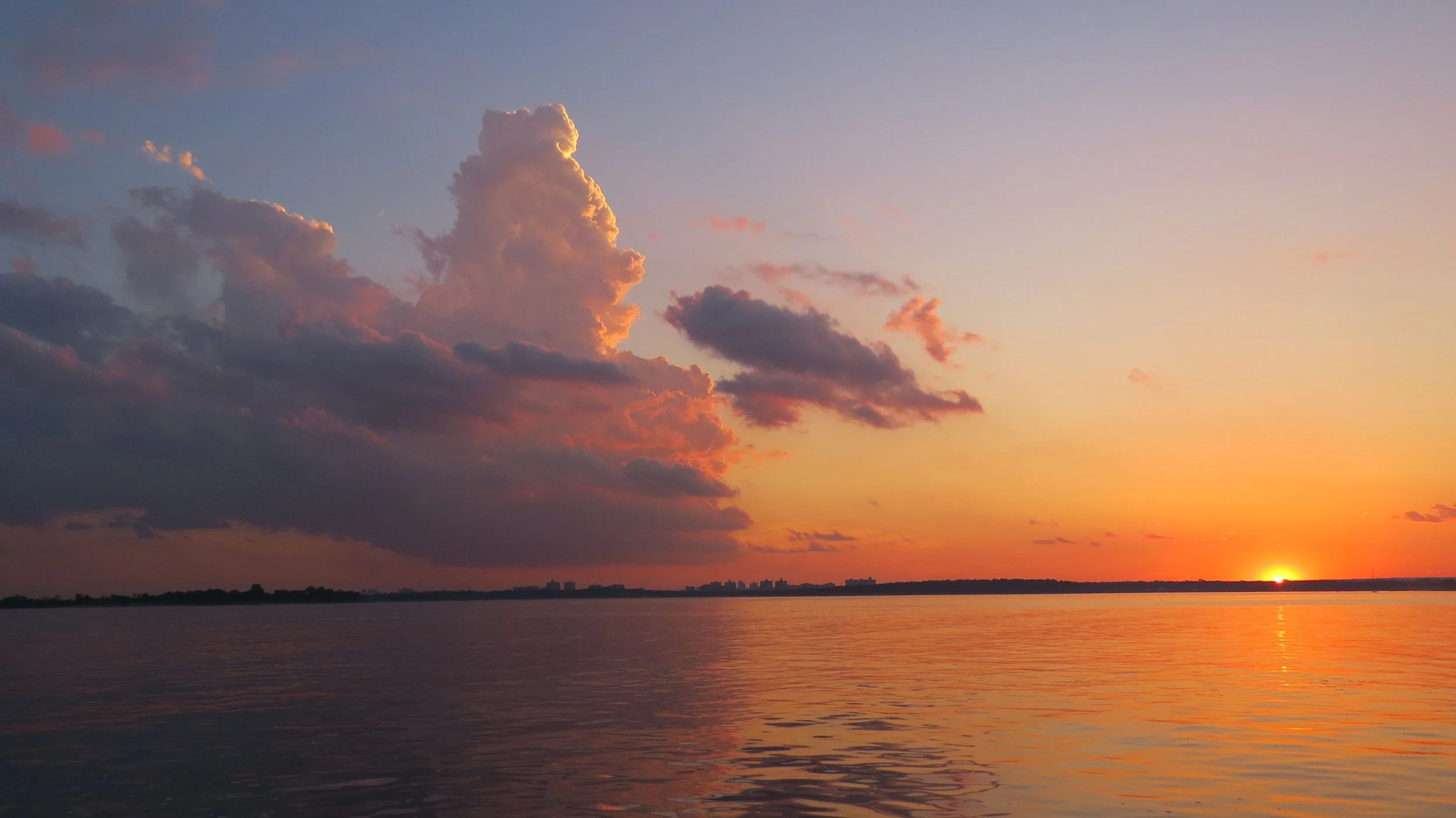
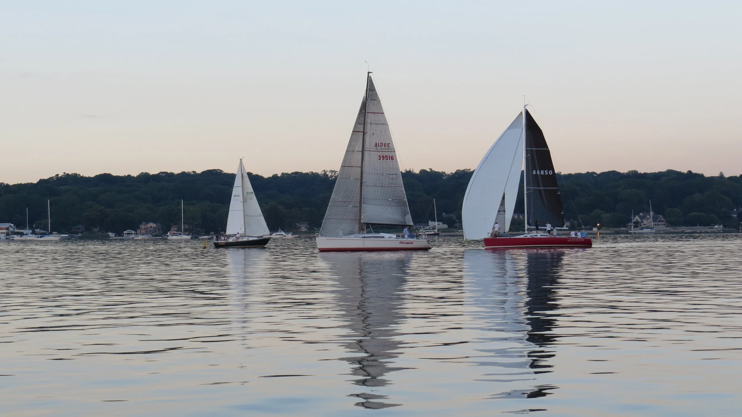

Photo credit: Jennifer Wilson-Pines
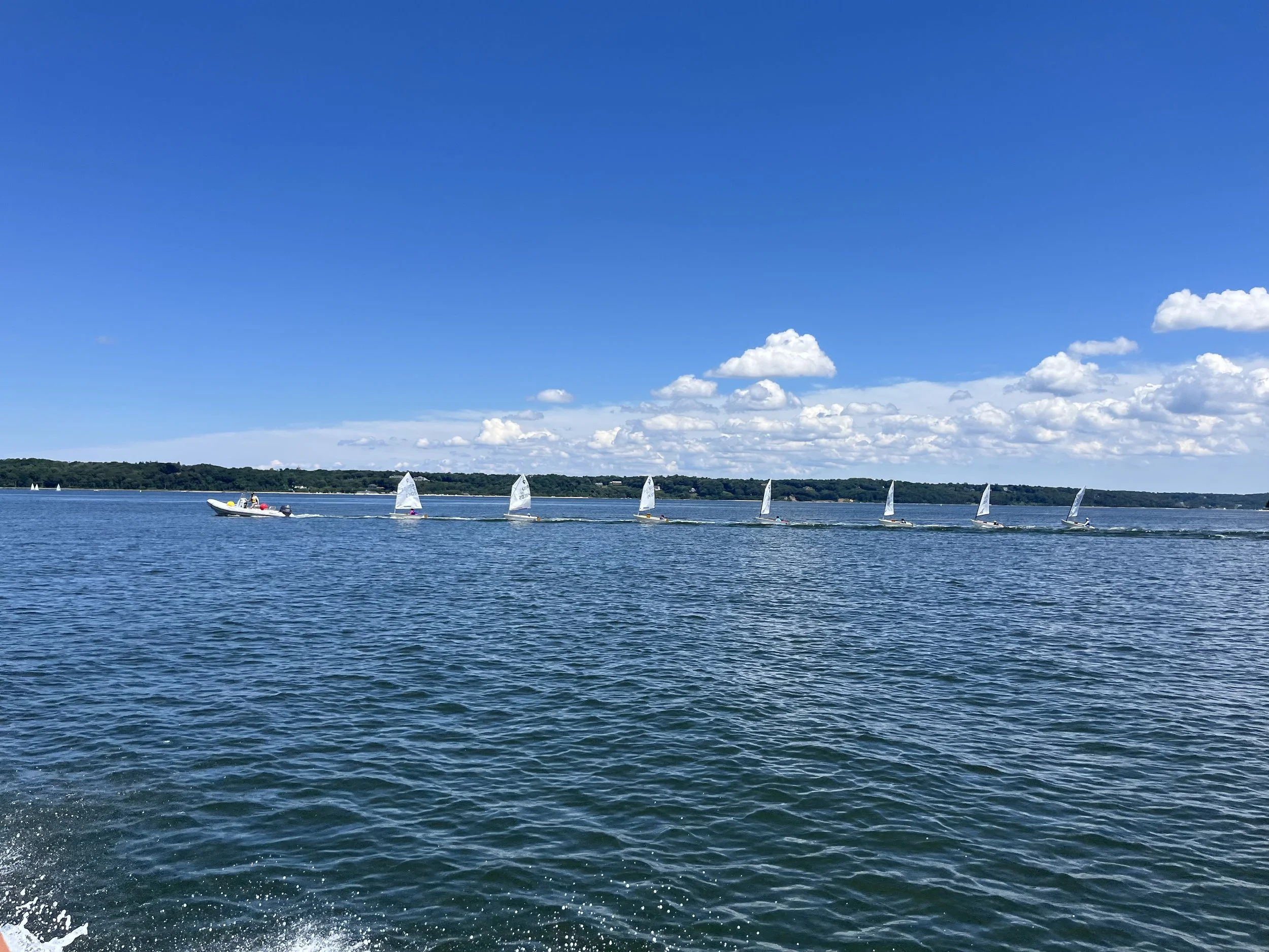
A Brief History of the Long Island Sound, Part 1
In geological terms Long Island and the Long Island Sound are new kids on the block, both having been formed by the retreat of the ice age glaciers about 10,000 – 15,000 years ago. The Sound was not as we know it today, having gone through several transformations. First there was a lake, Lake Connecticut, formed by run off from the retreating glaciers. That broke open on the Atlantic end and drained, but the sea level was still low and what was left became a plain and riverbed. A second glacial lake to the north also broke open and the Sound became a marshy river delta. As sea level again rose, the Sound began to fill with sea water until it reached the form we know about four thousand years ago.
Pre-colonially the Sound was a plentiful source of food for indigenous peoples moving into the area following the retreating ice sheets. The first pioneers would have found a frozen tundra but very quickly spruce and pine forest would have grown in followed within a few generations by deciduous forests. Animals would have followed the food resources of new vegetation, and fish, marine mammals and shellfish moved into the nutrient rich waters. Archeologists have identified 22 kinds of fish and shellfish from remnants found in middens. Huge colonies of seabirds provided food and eggs. Cranberry bogs filled marshy areas that are now our bays. But even with this bounty, winters were a perilous time with starvation hovering nearby. With streams and bays frozen over, seabirds migrated south, plants dead or dormant, and many animals in hibernation, pickings were slim. But by the time Adrian Block sailed the length of the Sound in 1612, continental trading networks had brough corn, beans and squash from their origin in the southwest to the northeast.
The early Europeans to the region were not colonists but traders, drawn by the wealth of furs available; deer, bear, otter, marten and beaver pelts in particular. Trading changed the relationship of the natives with the land. Instead of taking what they needed to survive, they now took more animals to trade. Over 100,000 beaver pelts were shipped to Europe and by the late 1600’s they had been exterminated from the region. Traders also caused something new, inflation, when they discovered they could create their own wampum (discs of drilled shell used as currency) much faster than natives with metal drills. Other trade goods were products both practical like metal cookware and decorative like the notorious beads bartered for Manhattan Island.
When Colonists arrived in numbers, clearing of the land began on a massive scale to create farmland. Without habitat, animals began to disappear or be pushed into remoter areas. Natives had to compete with colonists for the same natural resources. The Europeans also brought a host of disease against which the natives had no immunity; small pox, measles, flu, diphtheria, even bubonic plague. It’s estimated that as much as 90% of the population was taken by disease within the first hundred years of European arrival. By the mid 1700’s the native population was reduced to a tiny remnant, stripped of their ability to provide for themselves.
Even as the coastline of the Sound became more densely populated, the ability of the Sound to provide fish, shellfish, ducks, seabird eggs and other resources like salt hay (Spartina patens) seemed limitless. Its ability to absorb the waste of an increasing population also seemed limitless. These two assumptions would soon collide with fatal results.
In the mid 1800’s oystering was a large part of the economy of the western Sound. Port Washington, Bayville, Cold Spring Harbor and towns along the coast sent out fleets of oyster sloops, the resulting harvest being packed in barrels for transport to New York City and points west. Over harvesting of natural beds lead to innovations like seeding and use of motorized dredges. But in 1892, 23 students at Wesleyan University came down with typhoid, with 4 dying. The ensuing investigation, after looking at many possible sources, identified raw oysters bought from a particular vendor. Further inquiry traced that batch of oysters to a site where they had been brought into brackish near shore waters to “fatten”. The sewage from a home where a mother and daughter had typhoid flowed into a stream and down to this area where the oysters had been placed. This was the first-time oysters had been conclusively identified as a source of contamination. In 1924 over 1500 people in New York, Washington DC and Chicago came down with typhoid traced to oysters from the Sound and the industry collapsed.
Meanwhile in Connecticut, industries along the rivers were pumping the waste of tanning, brass, hat making and other factories into the rivers that flowed into the Sound. On Long Island, access from the expanding web of railroad lines was converting farmland and Gold Coast estates to suburbia. The increased pressure would bring the Sound to a critical point.
In Part 2, we’ll look at the lowest point and how the Sound has begun to recover.
Learn more; This Fine Piece of Water by Tom Anderson
The Long Island Sound Study: https://longislandsoundstudy.net/


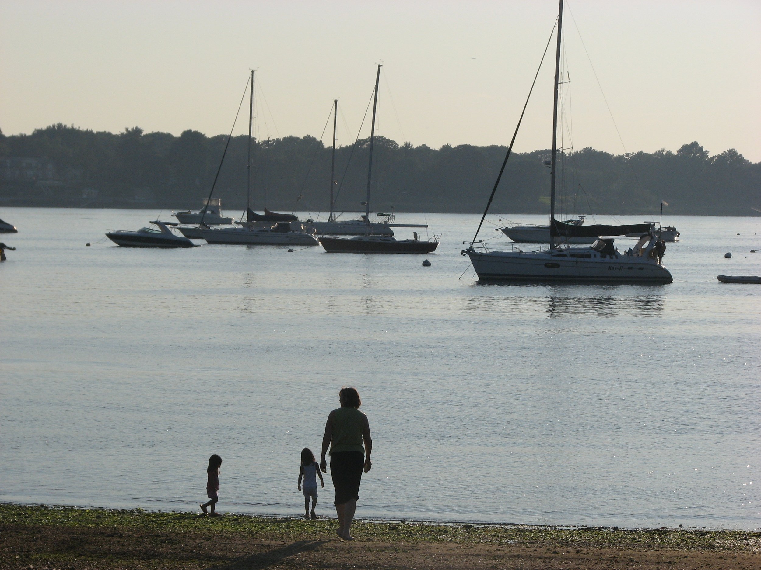
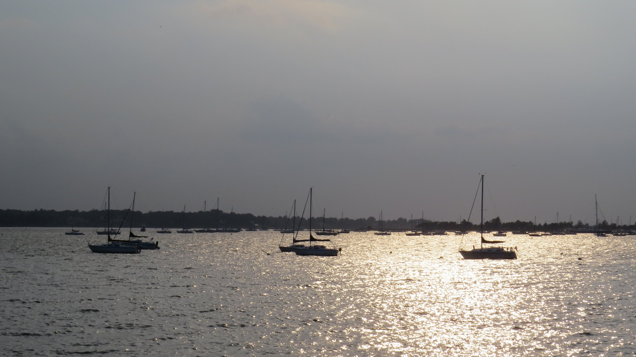
Photo credit: Jennifer Wilson-Pines
A Brief History of the Long Island Sound, Part 2
As the railroads and automobiles made Long Island more accessible in the early 1900’s, farms and forests gave way to suburban development. Population began to climb. In 1920 Nassau County had 126,000 residents, which became 1.5 million by 1970. Suffolk County increased by a million in the same time frame. This increase was also occurring in Westchester and communities along the Connecticut shore
As homes and businesses replaced natural areas this dramatically altered the flow of sediments, pollutants and nitrogen to the Sound. Plants and soil that once absorbed rainfall and snow melt were replaced with impervious surfaces, buildings and pavement. Run off was directed into streets and then into an extensive system of pipes to the nearest waterbody, streams, ponds, bays and harbors. Shorelines were hardened and vegetative buffers removed to allow homeowners more expansive views. This was a double whammy, pouring runoff polluted with everything on lawns, streets and other surfaces into surface waters and depriving our sole source aquifer of recharge.
Along with the increasing suburbs came the obsession with a perfect green lawn. Lawn Guyland put down more nitrogen in the form of fertilizer than agricultural counties up state. In the case of nitrogen, a necessary element for growth and life, more is not a good thing.
Another source of nitrogen is human sewage. Treated sewage - and millions of gallons of fresh water- are discharged into bays every day. 90% of the unsewered areas in Nassau County are along the north shore; Kings Point, Manhasset, the Plandomes, Sands Point, Glen Head, Lattingtown, Mill Neck, and Bayville, mainly discharge into cesspools which are essentially poop injection pits. Suffolk County is 70% unsewered.
Unlimited growth is not a good thing. Like a cancer, massive amounts of nitrogen cause algae blooms. As the algae dies and decomposes, this process extracts oxygen from the water causing a condition called Hypoxia. Just like land dwellers, organisms that live underwater also require oxygen. Hypoxic conditions lead to fish kills, particularly in the western Sound which gets less infusion of oxygen rich waters from the ocean. It is a late summer event, typically occurring in August and September
Scientists were aware of increasing low oxygen events as early as the 1950’s, but it wasn’t until 1985 that NOAA authorized a study of the Sound. In 1987 Congress created the National Estuary Program as part of the Clean Water Act. The Sound was chosen as one of the 28 estuaries of national significance, with the program being overseen by the EPA. The EPA created the Long Island Sound Study (LISS) office and a bi-state Management Committee. A Citizen’s Advisory Committee (CAC) was established in 1988, open to stakeholders and interested parties. The early LISS often saw power struggles between environmentalists and developers.
While this positive step of creating the LISS was taking place, the Sound had reached a tipping point. In 1987 and 1989 massive kills of fish, lobsters, clams and other creatures took place due to severe hypoxic conditions.
With this impetus, the LISS began work on a Comprehensive Conservation and Management Plan (CCMP) which was published in 1994. Recognizing nitrogen as a major culprit in the degrading of the Sound, it established Total Maximum Daily Loads (TMDLs) which would require significant reductions in nitrogen output from the over 80 plants discharging into the Sound, with New York City the 900-pound gorilla at the western narrows. The estimates for upgrading ran into billions. Funding was a critical issue for municipalities. It seemed like an impossible task. But over time, with community and political will to invest in the health of the Sound, the reduction goal came closer. In 2017 NYC, with a billion-dollar investment, reached the target of 58% reduction.
The CCMP was not just about nitrogen but also set goals for protecting natural lands, restoring salt marshes, and developing a deeper understanding of the intricate workings of the Sound. The LISS and the CAC were not resting on their laurels. in 2015 a new CCMP was developed and published. Many goals of the original CCMP had been achieved but 20 years of science and practical experience had led to deeper understanding and to new targets.
Progress can be measured in many ways. Sewage treatment plants around the Sound have been upgraded. Suffolk and Nassau county are working on the thorny issue of septic systems. The return of osprey and eagles reflects an abundance of healthy fish stocks.
There are still challenges to face. Climate change with rising sea level and water temperatures are already impacting the Sound. Temperature has been implicated as a factor in hypoxia. Cold water creatures like northern lobster and winter flounder may not find the warmer waters survivable. Sea level rise threatens buffering salt marshes as does continued development. But progress has been made and the return of whales, dolphins and seals to the western Sound speaks of that change.
Learn More:
Know your septic system http://www.getpumpedli.org/
This Fine Piece of Water by Tom Anderson
The Long Island Sound Study: https://longislandsoundstudy.net/
The area including the Oyster Bay/Cold Spring Harbor Complex watershed was purchased by colonists from the Native Americans in 1653, with the exception of Lloyd Neck and Centre Island, which were not purchased until 1664 and 1665, respectively. The Oyster Bay/Cold Spring Harbor waterways have attracted merchants and colonization throughout the centuries. During the 17th century, common occupations were related to maritime activities, such as boat builders, carpenters, innkeepers, shipwrights and surveyors. The clay deposits on Centre Island began to be used for brick-making. Commerce and populations increased through the 18th century. By the mid-19th century and the invention of the steamboat, Long Island Sound became a popular summer vacation resort destination (McGee, 1997).
The Harbor Complex – A Threatened Vital Resource
The Oyster Bay/Cold Spring Harbor Complex is the cleanest estuary in western Long Island Sound and is a vital ecological, economic, and recreational resource. The approximately 6,000-acre estuary, spanning approximately 40 linear miles of shoreline, is the site of one of the most economically important shellfisheries in the State, contains a National Wildlife Refuge, State-designated Significant Coastal Fish and Wildlife Habitats, and has been identified by New York State as an Outstanding Natural Coastal Area. Moreover, the Oyster Bay/Cold Spring Harbor Complex is connected to Long Island Sound, an Estuary of National Significance. Oyster Bay is among the 30-plus areas highlighted by the Long Island Sound Study Stewardship Initiative, in New York and Connecticut, for the ecological and/or recreational values that they support.
The Oyster Bay/Cold Spring Harbor estuary and its watershed have been facing increasing challenges in recent years. Illegal dumping and polluted stormwater threaten water quality, development pressure is reducing the amount of open space and increasing impervious surfaces in the watershed, and man-made dams and culverts inhibit fish passage along streams. Portions of the Oyster Bay/Cold Spring Harbor watershed are located within the Oyster Bay Special Groundwater Protection Area, designated a Critical Environmental Area by the NYSDEC. The Oyster Bay Special Groundwater Protection Area is one of two such state-designated areas in Nassau County for the purpose of maintaining open space for aquifer recharge. The watershed also contains the West Hills Melville Special Groundwater Protection Area in Huntington, another important protection area for drinking water supply. Ongoing development, intensification of land use, and everyday activities within the watershed has the potential to adversely impact groundwater and public drinking water supplies.
Most of the waters of Oyster Bay are classified with the highest and best water quality determination for shellfishing – an unusual distinction given its proximity to New York City and the fact that the harbors to the west have been closed for several decades. The detrimental impact of degraded water quality on shellfishing in the estuary complex is evident as Oyster Bay Harbor, Mill Neck Creek, and its tidal tributaries are among the 69 waterbodies on the New York State list of impaired waters for shellfish harvesting, and the NYSDEC has decertified all shellfish harvesting areas in Mill Neck Creek and some shellfish harvesting areas in Oyster Bay.
- Oyster Bay/Cold Spring Harbor Watershed Action Plan, Executive Summary
Read the full document: